The Southern Ocean

Observing System

Facilitating and Enhancing Global Southern Ocean Observations

New links between ice shelf observations and models


Members of the NECKLACE (Network for the Collection of Knowledge on meLt of Antarctic iCe shElves) and RISE (Realistic Ice-shelf/ocean State Estimates) initiatives met in Hobart to discuss the coordination of observations and modelling, designed to improve understanding of how the oceans are melting the ice sheets. These SOOS endorsed initiatives have not previously met together. 

The recently established Realistic Ice-shelf/ocean State Estimates (RISE) project aims to meet the international need to understand ice sheet mass loss, coordinating the rapid advances in modelling and observations of ocean-driven melting of the Antarctic Ice Sheet. Important observations will be provided by NECKLACE, aimed at coordinating collected radar measurements from ApRES, of the rate of ocean-driven melting. These time series of melt rates from point locations will complement the model and satellite-derived maps of melt rate estimates. 

It was agreed that there is a need to standardise the workflow and data management for observations. In the coming months we will be reaching out to both NECKLACE and RISE communities to foster future collaborations between modellers and observationalists. 

ApRES contributors can share information on deployments at http://tiny.cc/necklace_deployments so that basic metadata can be shared through SOOSmap

If you would like to help shape these projects then we look forward to hearing from you at the following address This email address is being protected from spambots. You need JavaScript enabled to view it. 

This workshop was supported by the Antarctic Gateway Partnership at the University of Tasmania (UTAS).
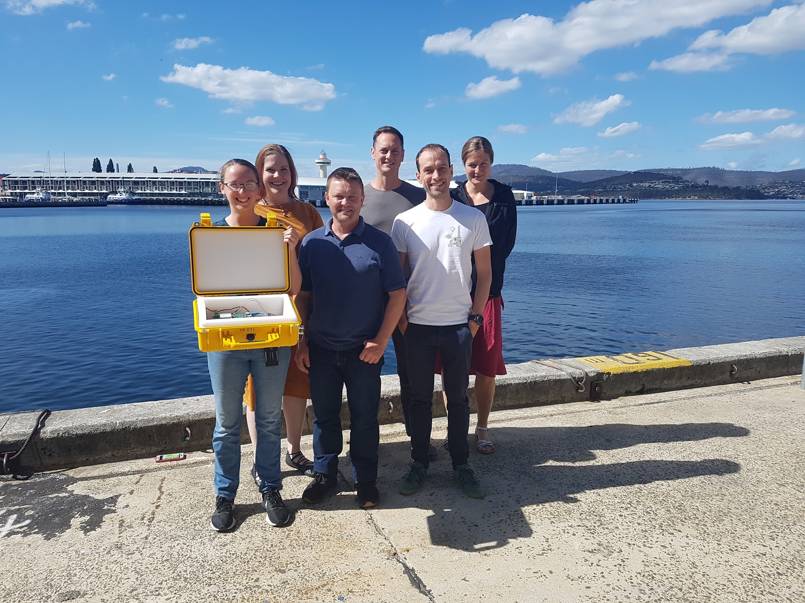
The NECKLACE and RISE working group who met at the Institute for Marine and Antarctic Studies (IMAS), University of Tasmania in Hobart, Australia. From left to right: Sue Cook holding an ApRES instrument (Institute for Marine and Antarctic Studies, UTAS, Australia), Pip Bricher (SOOS), Craig Stewart (National Institute for Water and Atmospheric Research, New Zealand), Ben Galton-Fenzi (Australian Antarctic Division), David Gwyther (Institute for Marine and Antarctic Studies, Australia), and Irena Vankova (British Antarctic Survey, UK).

 

Data Efforts

Image
Data sharing is at the heart of SOOS. Our aim is to support the development of systems that maximise the discoverability, access and impact of Southern Ocean observations, no matter who collected them, or when, or why.
Image
Image
Explore and download curated and standardised Southern Ocean observational data on an interactive map.
Image
Image
Search the SOOS portal at NASA's Common Metadata Directory (CMR) for worldwide Southern Ocean data.
Image
Image
Find and share upcoming expeditions to the Southern Ocean with international colleagues.
Image
Image
Explore Regional Working Groups that coordinate and implemente the observing system in each region.

Field Coordination

Image
SOOS brings together existing communities and observational efforts to enhance the coordinated collection of observations, through the development of coordination networks and tools. These facilitate collaborative logistics, sharing of resources, alignment of observational priorities, and supporting community effort towards achieving the SOOS mission.

Enhancing Capabilities

Image
SOOS enhances our ability to observe the Southern Ocean integrated, multidisciplinary and sustained way, through support of community-driven working groups and task teaks. These efforts focus on development and implementation of technologies, building networks, improvement of observational design, and development of associated methods.
Image
Image
Explore Capability Working Groups (CWGs), developing and enhancing important Southern Ocean observational capabilities.
Image
Image
Find Task Teams producing specific products, organising events, or solving a particular observing problem.


Latest News & Events

Image

Enhancing observations of the Southern Ocean

Image
SOOS is an international initiative of the Scientific Committee on Antarctic Research (SCAR) and the Scientific Committee on Oceanic Research (SCOR).  SOOS' mission is facilitating the collection and delivery of essential physical, chemical and biological oceanographic observations from the Southern Ocean, to ensure all stakeolders have access to the data required to address key societal issues, such as sea-level rise, heat, freshwater and nutrient transport, and ecosystem responses to changes in the system.
Image
The SOOS 5-year Implementation Plan defines the actions of the SOOS community for the period 2021-2025.
Image
The Southern Ocean community has identified 5 scientific challenges that are used to focus our observational priorities.
Image
SOOS has a simple governance structure, with close connections to external scientific and coordination bodies.
Image
The International Project Office (IPO) is the central hub of the SOOS effort, click above for details on how to contact the IPO.

Sponsors

Image

Stay up to date. Subscribe to our newsletter