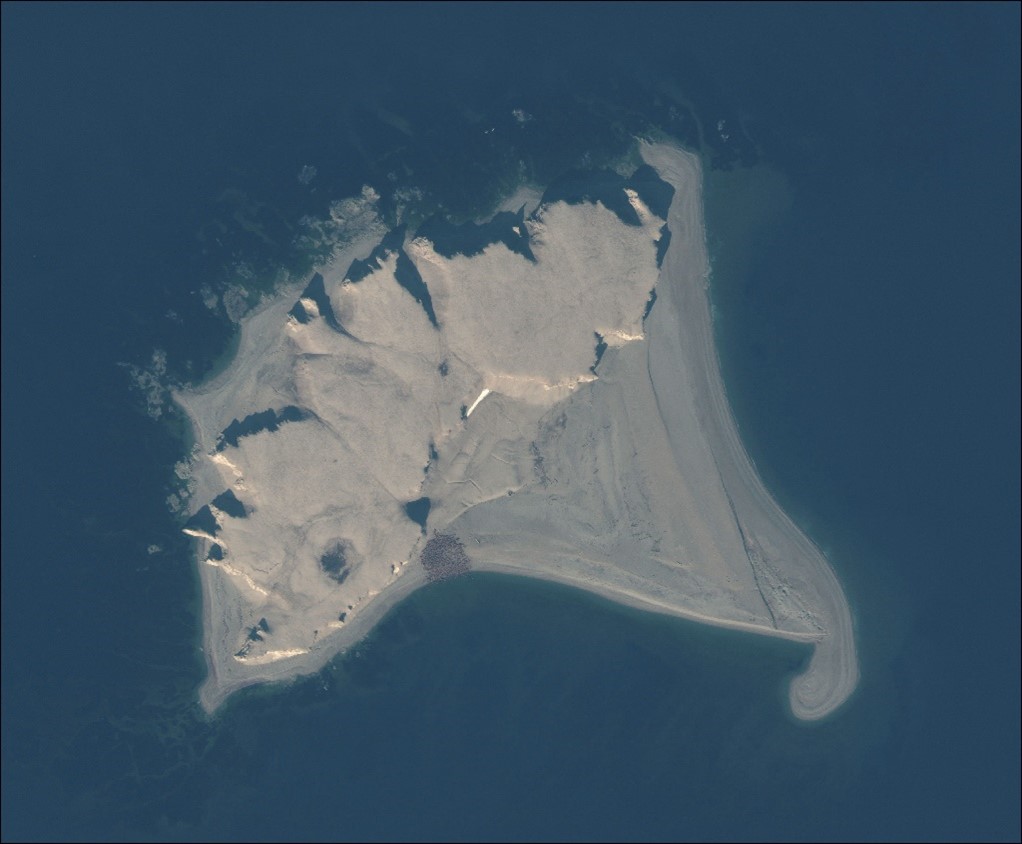
Walrus from Space


Walrus from Space is a joint project between British Antarctic Survey and WWF. The overarching aim of the project is to try to better understand walrus populations, and how they are changing with sea ice loss and other changes in the Arctic. To do this we will try to assess the walrus population at every walrus haul-out of the Atlantic sub-species and Laptev population over a period of five years. We have tasked the satellite provider Maxar to acquire very high resolution (30-50cm per pixel) imagery of every known haul-out location, at least once each summer season. The aim is then to assess and count each haul-out using citizen science on Maxar’s GeoHIVE crowd sourcing platform. We are using a combination of other remote sensing information, such as the ESA Sentinel2 platform, along with tracking studies, indigenous and local knowledge and ground counts to help calibrate and understand the data.
The citizen science campaign launched on the 14th of October and is spilt into two campaigns; the first is a simple question of presence or absence where we ask viewers if there are walrus on each image.

Here the satellite images are divided into 200 x 200 metre “chips” as we found that this was the optimum scale to spot walrus. The second stage, once we have refined the imagery to areas where there are walrus, will then to estimate the population. Again here we will take two methods, the first, where walrus are well spaced, will ask citizen scientist to place a dot on each animal; the second, where walrus are tightly packed together, will ask people to draw a line around the mass of animals. To be sure about the accuracy of the counts each chip is to be assessed 9 times, giving us a total of almost 5 million images to assess in the first stage. The project has had an incredible take-up and at the time of writing around 86% of this first stage is complete.
Although not Southern Ocean focused, the Walrus from Space project owes a great deal to the SOOS CAPS working group and their work assessing Antarctic ice seals by satellite imagery. Previous efforts like Michelle LaRue’s Tomnod Weddell seal crowd sourcing project have acted as an inspiration and background for this transfer of work to an equally threatened species in the Arctic.


